

Advancements in technology have revolutionized the field of geology, enhancing precision, efficiency, and problem-solving capabilities. Notable advancements in the field of detailed geological mapping encompass the incorporation of cutting-edge technologies like artificial intelligence (AI) and machine learning (ML) to analyze data, the utilization of remote sensing and satellite technology for precise mapping, drones for aerial surveys, and advanced geophysical imaging techniques for subsurface exploration. These technologies are revolutionizing geological research, optimizing resource management, and providing invaluable insights into Earth’s processes.
Exploring the Intersection of AI and Machine Learning in Geology
AI and ML are leading the way in geological innovations, especially in data analysis. These cutting-edge technologies have the ability to analyze massive amounts of data, uncover hidden patterns, and make accurate predictions that were once considered unattainable. As an industry journalist, it’s fascinating to see how AI is being utilized in remote sensing. It plays a crucial role in classifying images, detecting changes in land cover, and analyzing hyperspectral and radar data. The combination of AI and remote sensing has shown great effectiveness in various tasks, including reducing noise, fusing data, and detecting objects. This integration has greatly enhanced the accuracy of geological studies.
Exploring the World from Above
Geologists are finding that surveys are being transformed by the use of drones equipped with cutting-edge sensors such as LiDAR, thermal cameras, and hyperspectral and multispectral sensors. These unmanned aerial vehicles (UAVs) offer valuable high-resolution data that is crucial for environmental monitoring, mineral exploration, and mapping hard-to-reach locations. Drones offer a range of benefits, including reduced human involvement, enhanced safety, and the ability to gather accurate data in difficult and expansive landscapes.
You might be interested in
- Madison Metals Advances Khan Project with Successful Geological Mapping in Namibia
- Kirkland Lake Discoveries (TSXV:KLDC) Completes Phase 1 Drilling at Kirkland Lake Project, Advances Geological Understanding of Lucky Strike Property
- Mapping the World’s Natural Economic Resources: Google’s Interactive Map Unveils Global Mine Sites and Mining Services
- Exploring the Virgin Territory of Botswana Using Remote Sensing Technology with Ben Turney – Dig Deep – The Mining Podcast
Exploring the realm of remote sensing and satellite technology
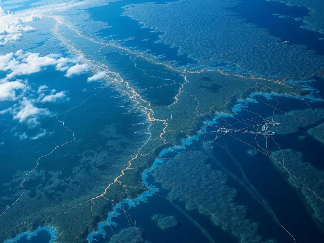
Remote sensing technology, such as satellite imaging, plays a crucial role in conducting thorough geological mapping. These technologies allow for the gathering of data without physical contact, utilizing sensors to measure different forms of energy emitted or reflected by the Earth’s surface. Recent developments in remote sensing technology have resulted in the creation of vast amounts of data. These datasets are now being effectively handled and examined using cutting-edge AI and ML tools to uncover valuable geological insights.
More Read
Exploring Geophysical Imaging Techniques for Detailed Geological Mapping
Cutting-edge geophysical imaging techniques, including 3D seismic imaging and electromagnetic methods, offer intricate insights into the Earth’s subsurface. Understanding these techniques is essential for exploring mineral resources, gaining insights into geological structures, and evaluating environmental impacts. By incorporating AI and ML, these methods are significantly improved in terms of accuracy and efficiency, empowering geologists to make better-informed decisions.

Exploring the intersection of Big Data and Cloud Computing
Big data and cloud computing technologies have greatly improved the efficiency of managing geological data. These advancements enable the storage, processing, and analysis of large datasets, enabling geologists to collaborate on a global scale and access information in real-time. Cloud computing platforms are crucial for facilitating complex simulations and modeling, enabling accurate predictions of geological phenomena and efficient planning of resource extraction.
Environmental Monitoring Technologies
Recent developments in environmental monitoring technology are playing a crucial role in supporting sustainability initiatives within the field of geology. Monitoring systems and sensors play a crucial role in keeping track of environmental changes, evaluating the effects of mining operations, and ensuring adherence to environmental regulations. These technologies contribute to the advancement of sustainable practices in resource management and aid in reducing the negative impact of geological activities on the environment.