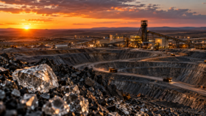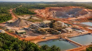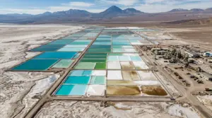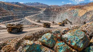


The AVIRIS-5 sensor, developed by NASA, is helping scientists and industry experts identify important mineral resources by observing the Earth from high above, offering a smarter and more efficient approach to early-stage mineral exploration.

Carried aboard a high-altitude research aircraft flying at nearly 60,000 feet, the AVIRIS-5 sensor captures highly detailed images of the Earth’s surface. By analyzing how sunlight reflects off rocks and soil, the sensor can identify unique spectral patterns that reveal the presence of different minerals on the ground.
How the AVIRIS-5 Sensor Works
Every mineral reflects light in a unique way. The AVIRIS-5 sensor is designed to detect these subtle differences, enabling scientists to identify locations that may indicate the presence or absence of targeted minerals such as lithium, nickel, cobalt, aluminum, and titanium. This capability allows for rapid and accurate scanning of large and remote regions.
Rather than relying solely on time-consuming field surveys and drilling, researchers can use airborne data to highlight areas that are more likely to contain valuable mineral deposits, improving efficiency in early exploration stages.
What This Means for Mining and Exploration
The AVIRIS-5 sensor acts as an early guide for the mining sector. While it does not replace mining operations, it helps identify priority areas where exploration activities are more likely to begin in the future. As a result, ecosystems experience less unnecessary disturbance, exploration costs are reduced, and environmental impacts are minimized.
More Read
This technology also supports more efficient planning and responsible management of mining activities, especially as demand for minerals used in electric vehicles, batteries, renewable energy systems, and electronics continues to rise.

Beyond Minerals: Wider Uses of the AVIRIS-5 Sensor
Mineral detection is only one of the AVIRIS-5 sensor’s many applications. Its capabilities also extend to land monitoring, vegetation analysis, and environmental assessment. As such, the sensor is a valuable tool for detecting surface changes over long time periods.
The high-resolution aerial data collected by the AVIRIS-5 sensor enables scientists to assess soil health, land degradation, deforestation, and ecosystem changes. In addition, it can track landscapes affected by climate stress, human activity, and natural events such as droughts or wildfires. Regular, large-area monitoring allows researchers to identify environmental trends more quickly and accurately than traditional ground-based methods.
More Read
Consequently, the AVIRIS-5 sensor has become an important tool in climate science research and environmental planning, supporting the protection of natural resources while balancing industrial development.
A Step Toward Smarter Resource Management
The introduction of the AVIRIS-5 sensor represents a significant technological step forward in mineral exploration and resource management. By providing clearer and more accurate insights into the Earth’s surface, the sensor helps decision-makers combine advanced science, sustainability, and innovation before large-scale extraction begins.
This state-of-the-art technology reduces exploration risks by identifying promising areas early, saving companies from unnecessary investment and preventing unintentional environmental damage. It also encourages more responsible mining practices through improved planning, efficient scheduling, and controlled resource use.